Check tour
Vietnam

About Offline Map
Country Days Tracker - this app track the days you spend in different countries helping you with visas and tax residency. Try it now! Watch video!
Vietnam, officially known as the Socialist Republic of Vietnam, is a fascinating Southeast Asian country with a rich history, diverse landscapes, and vibrant culture. Here are some key highlights of Vietnam:
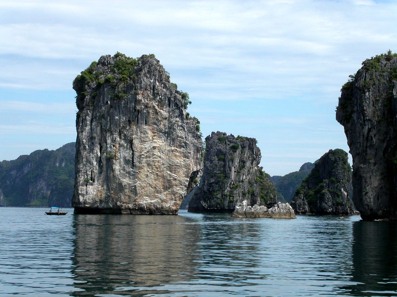
1. Ha Long Bay: A UNESCO World Heritage site, Ha Long Bay is famous for its stunning limestone karsts and emerald waters. Take a cruise to explore its scenic beauty and enjoy activities like kayaking and swimming.
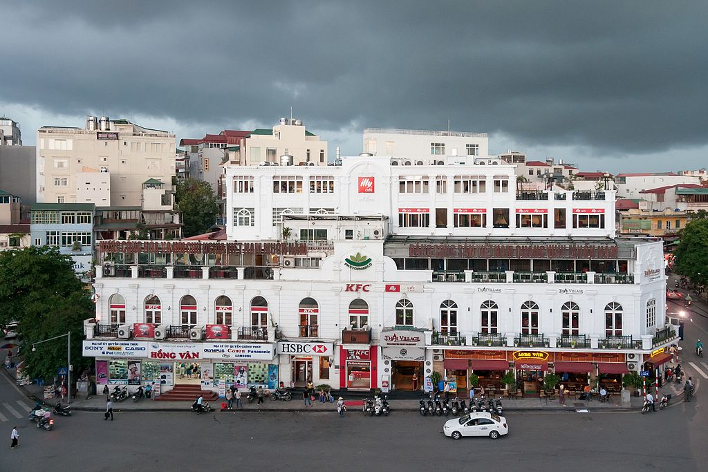
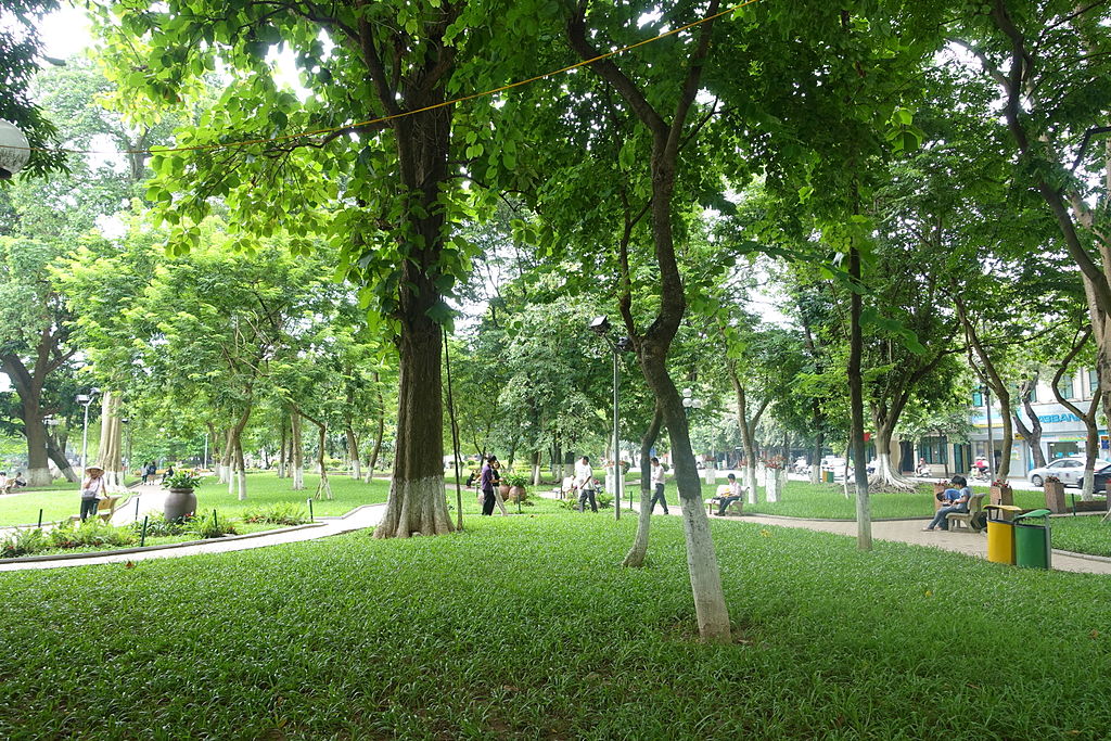
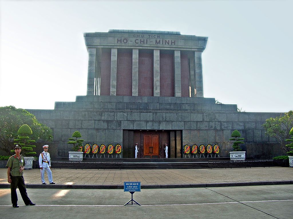
2. Hanoi: The capital city of Vietnam is a blend of old-world charm and modern vibrancy. Explore its historic Old Quarter, visit the Ho Chi Minh Mausoleum, and enjoy the bustling street markets.
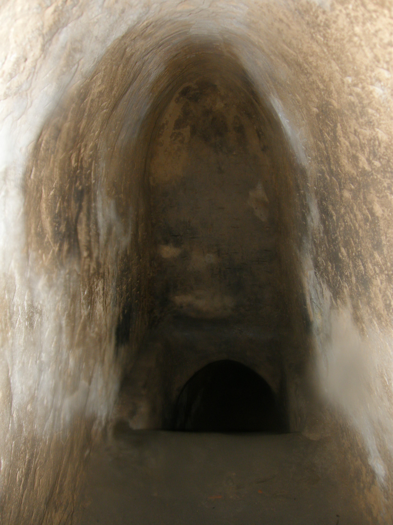
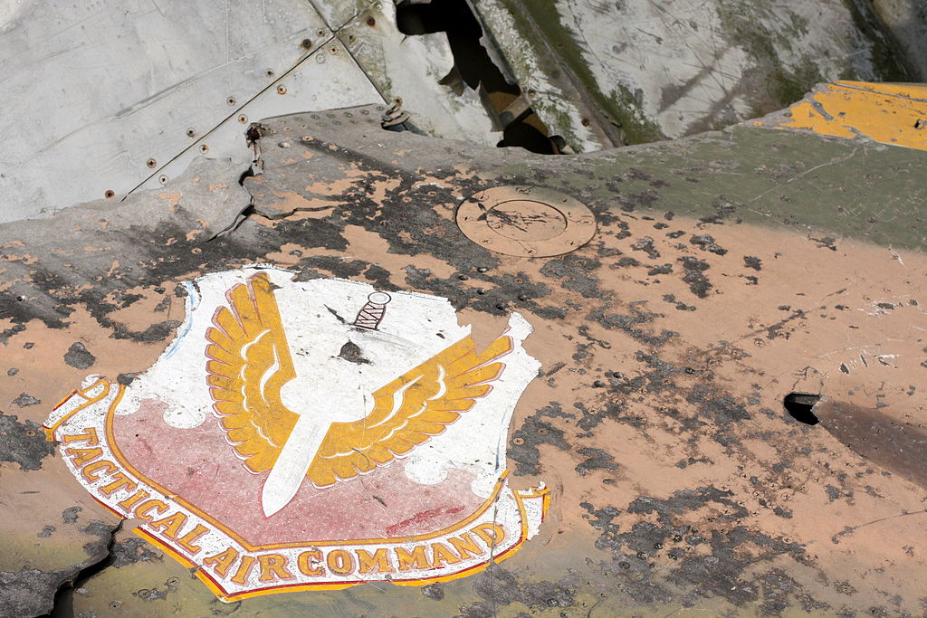
3. Ho Chi Minh City (Saigon): The largest city in Vietnam, Ho Chi Minh City offers a mix of colonial architecture, bustling markets, and a lively atmosphere. Don't miss the Cu Chi Tunnels, an underground network used during the Vietnam War.
4. Hoi An: A charming ancient town with well-preserved architecture, Hoi An is known for its lantern-lit streets, tailor shops, and delectable local cuisine.
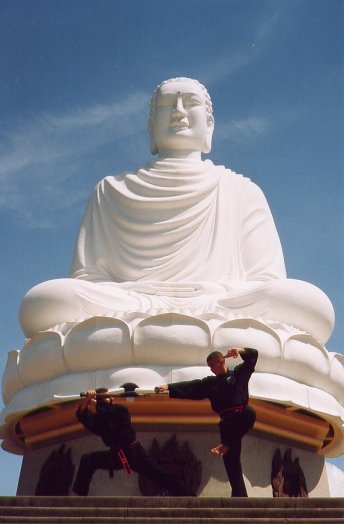
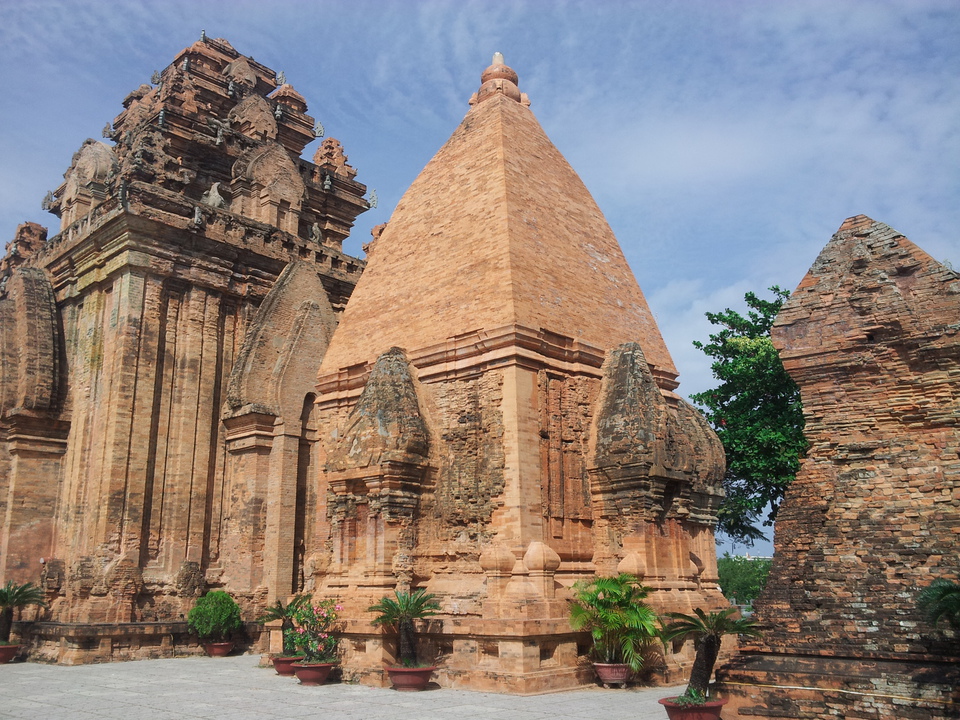
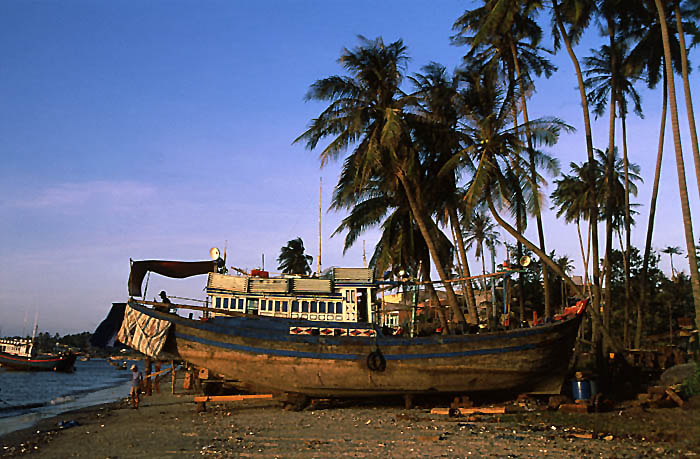
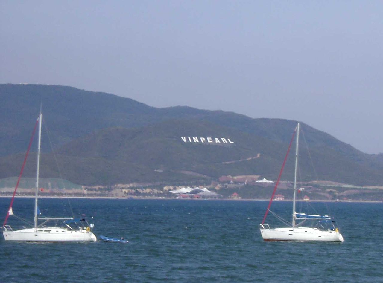
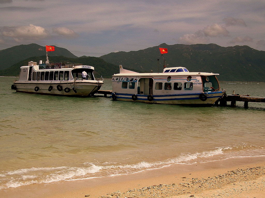
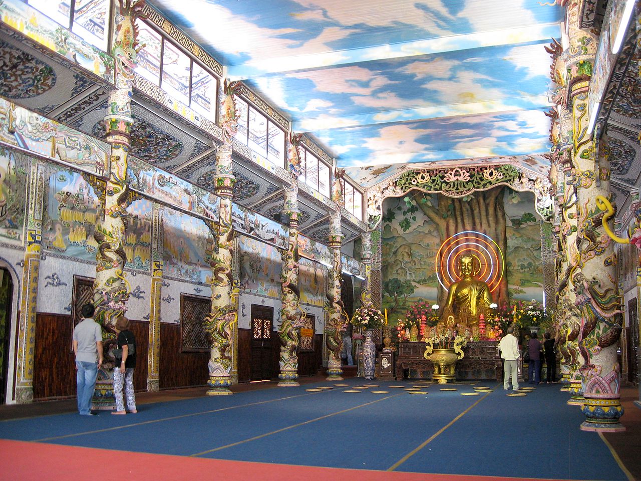
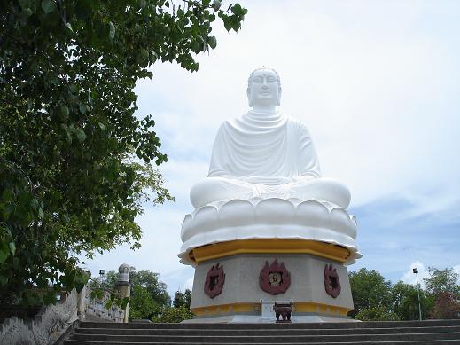
5. Nha Trang: This coastal city is famous for its beautiful beaches and water activities, making it an ideal spot for relaxation and water sports.
6. Da Nang: A coastal city with a mix of modern and traditional elements, Da Nang boasts beautiful beaches, the iconic Dragon Bridge, and the Marble Mountains.
7. Hue: Explore the imperial city of Hue, home to ancient palaces, tombs, and pagodas, providing a glimpse into Vietnam's royal history.
8. Sapa: Head to the north to Sapa for breathtaking rice terraces and the chance to experience the culture of ethnic minority communities.
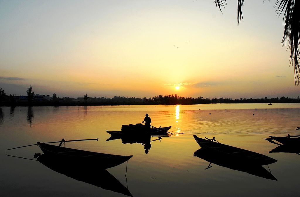
9. Mekong Delta: Take a boat trip through the lush Mekong Delta, known for its floating markets, tropical fruit orchards, and charming river towns.
10. Phong Nha-Ke Bang National Park: This UNESCO World Heritage site is famous for its impressive cave systems, including the world's largest cave, Son Doong.
11. Vietnamese Cuisine: Indulge in the delicious and diverse Vietnamese cuisine, known for its fresh herbs, flavorful dishes like pho, banh mi, and spring rolls.
12. Cu Chi Tunnels: Located near Ho Chi Minh City, these underground tunnels were used by the Viet Cong during the Vietnam War.
Vietnam offers a blend of history, natural beauty, and cultural experiences, making it a captivating destination for travelers seeking a mix of adventure and immersion in a vibrant Asian culture.