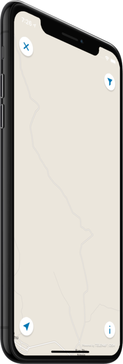
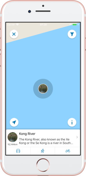
기능
Laos 오프라인 모바일 맵으로
잊지 못할 여행의 추억을 만드세요!
최고 인기 여행지
저희의 오프라인 맵에서는 25 최고 인기 여행지에 대한 정보와 함께, 고품질의 설명, 사진, 그리고 실제 여행객들의 리뷰를 제공해 드립니다.
고품질 콘텐츠
저희가 제공해 드리는 모든 장소는 설명, 사진, 실제 여행자들의 리뷰와 함께 제공됩니다.
모바일 데이터를 절약하세요!
앱의 모든 기능이 오프라인에서 작동됩니다! 여행 전에 저희의 완전 자체제작 맵을 다운로드하시기만 하면, 모바일 트래픽을 절약하실 수 있습니다!
근처의 최고 인기 여행지를 찾으세요!
저희가 제공해 드리는 특선 장소들 외에, 저희의 가이드를 통해 수만 곳의 다른 유용한 장소들을 찾아보실 수 있습니다 (호텔, 레스토랑, ATM, 대중교통 정류장, 관심 지역 등)
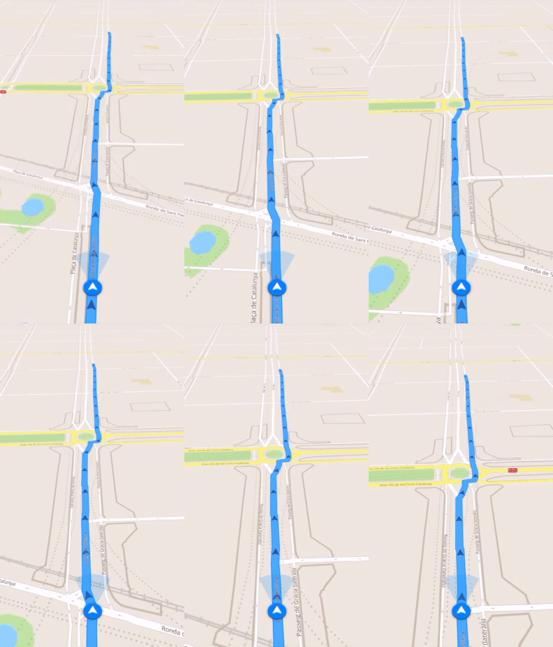
오프라인 네비게이션
오프라인으로 최적의 운전, 도보 또는 자전거 경로를 계획하세요! 자신의 장소를 저장하세요, 저장된 장소를 항상 다시 찾아보기 쉽고 길을 잃을 일이 없도록 말이죠.
날씨 예보 및 환율 변환!
200개 이상의 국가를 지원하는 최신 날씨 예보 및 간편한 환율 변환 계산기!
최고 인기 관심 지역
다음은 저희 오프라인 맵에서 찾아보실 수 있는 몇 군데의 관심 지역 목록입니다.
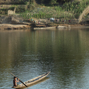
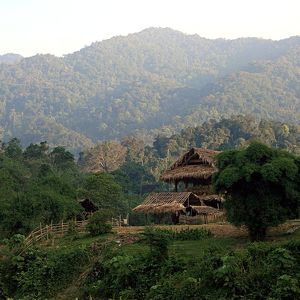
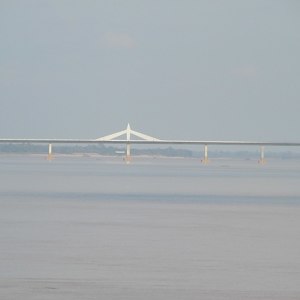
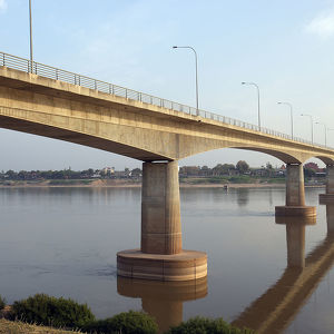
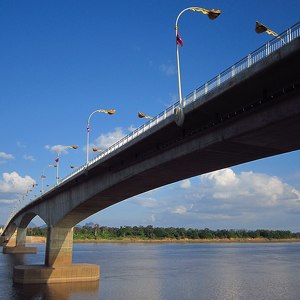
Kong River
The Kong River, also known as the Xe Kong or the Se Kong is a river in Southeast Asia. The river originates in Thừa Thiên–Huế Province in Central Vietnam and flows 480 kilometres (300 mi) through southern Laos and eastern Cambodia. It joins the Mekong ...
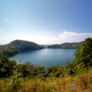
Nong Fa Lake
Nong Fa Lake or Nongphatom Lake (meaning Blue lake) is a volcanic crater lake in the mountains of Sanxay District, Attapeu Province, southeastern Laos, located within the Dong Ampham National Biodiversity Conservation Area, about 12 kilometres from the...
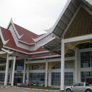
Luang Prabang International Airport
Luang Prabang International Airport, (IATA: LPQ, ICAO: VLLB) is one of the few international airports in Laos. The airport is located about 4 kilometres (2.5 mi) from the centre of Luang Prabang. The second busiest airport in the country, it is a regio...
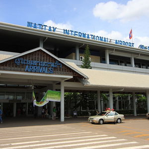
Wattay International Airport
Wattay International Airport (IATA: VTE, ICAO: VLVT) is one of the few international airports in Laos. It is located 3 km (2 mi) outside of the city centre of its capital, Vientiane. The airport consists of an old and small domestic terminal and a new ...
Bolaven Plateau
The Bolaven Plateau is an elevated region in southern Laos. Most of the plateau is located within Champasak Province of Laos, though the edges of the plateau are also located in Salavan, Sekong and Attapeu Provinces. It is located between the Annamite ...
Annamite Range
The Annamite Range or the Annamese Mountains is a mountain range of eastern Indochina, which extends approximately 1,100 km (680 mi) through Laos, Vietnam, and a small area in northeast Cambodia. The mountain range is also referred to variously as Anna...
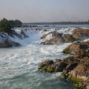
Khone Phapheng Falls
The Khone Falls and Pha Pheng Falls is a waterfall located in Champasak Province on the Mekong River in southern Laos, near the border with Cambodia (Khmer called "Labak Koun"). The Khone Falls are the largest in southeast Asia and they are the main re...
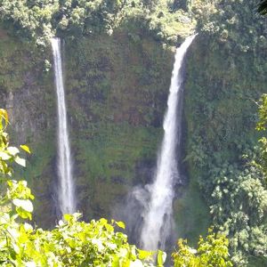
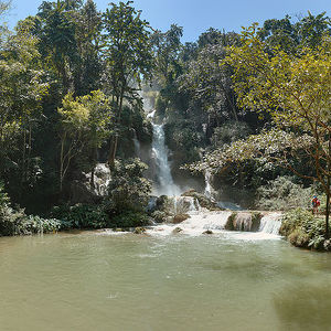
Kuang Si Falls
The Kuang Si Falls, sometimes spelled Kuang Xi or known as Tat Kuang Si Waterfalls, is a three tier waterfall about 29 kilometres (18 mi) south of Luang Prabang. These waterfalls are a favourite side trip for tourists in Luang Prabang. The falls begin ...
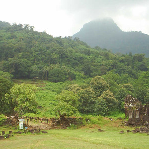
Vat Phou
Vat Phou is a ruined Khmer Hindu temple complex in southern Laos. It is located at the base of mount Phu kao, some 6 kilometres (3.7 mi) from the Mekong in Champasak Province. There was a temple on the site as early as the 5th century, but the survivin...
Luang Prabang
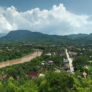
The centre of the city consists of four main roads and is located on a peninsula at the confluence of the Nam Khan and Mekong River. Luang Prabang is well known for its numerous Buddhist temples and monasteries. Every morning, hundreds of monks from th...
Plain of Jars
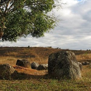
The Plain of Jars is a megalithic archaeological landscape in Laos. It consists of thousands of stone jars scattered around the upland valleys and the lower foothills of the central plain of the Xiangkhoang Plateau. The jars are mostly arranged in clus...
Pha That Luang
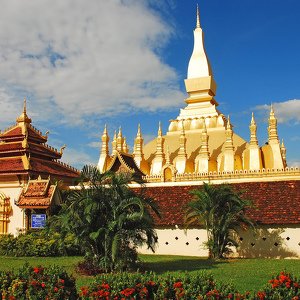
Pha That Luang is a gold-covered large Buddhist stupa in the centre of the city of Vientiane, Laos. Since its initial establishment, suggested to be in the 3rd century, the stupa has undergone several reconstructions as recently as the 1930s due to for...
Wat Xieng Thong
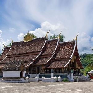
Wat Xieng Thong is a Buddhist temple (wat), located on the northern tip of the peninsula of Luang Phrabang, Laos. Wat Xieng Thong is one of the most important of Lao monasteries and remains a significant monument to the spirit of religion, royalty and ...
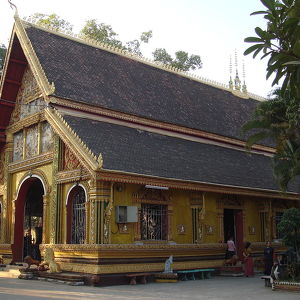
Wat Si Muang
The temple was built in 1563, within the former Kingdom of Lan Xang. Located near the eastern entrance to the city centre, on the road leading from the Friendship Bridge to Thailand, the small temple was built on the ruins of a Khmer Empire Hindu sh...
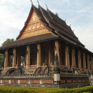
Haw Phra Kaew
Haw Phra Kaew was built in 1565–1566 on the orders of King Setthathirath after he moved the capital from Luang Prabang to Vientiane. The temple was built on the grounds of the royal palace to house the Emerald Buddha figurine, which Setthathirath had b...
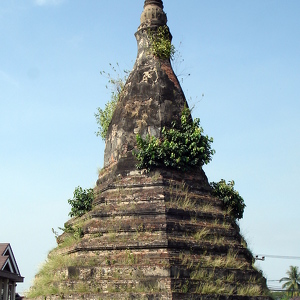
That Dam
That Dam (Lao ທາດດຳ, meaning Black Stupa) is a large stupa located in Vientiane, Laos. Many Laotians believe it is inhabited by a seven-headed nāga who tried to protect them from an invasion by the Siamese army in 1827.
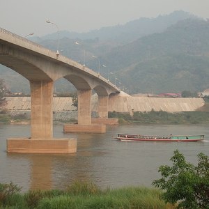
Fourth Thai–Lao Friendship Bridge
The bridge is 630 meters long (with a main span of 480 meters) and is 14.7 meters wide. It is about 10 kilometers from Amphoe Chiang Khong (Chiang Khong District), in the northeastern part of Chiang Rai Province, in northern Thailand, and about 12 kilo...
Second Thai–Lao Friendship Bridge
Bridge construction began on March 21, 2004. Supports and spans were constructed on shore, then moved out onto pylons in the river by crane.[citation needed] The total cost was about 2.5 billion baht (US$70 million), funded largely by a Japanese loa...
Thai–Lao Friendship Bridge
Opened on April 8, 1994, it was the first bridge across the lower Mekong, and the second on the full course of the Mekong. The cost was about £19 million, funded by the Australian government as development aid for Laos. The bridge was designed an...
Third Thai–Lao Friendship Bridge
The Third Thai–Lao Friendship Bridge over the Mekong is a bridge that connects Nakhon Phanom Province in Thailand with Thakhek, Khammouane in Laos. The bridge's foundation stone was laid on March 6, 2009, and it opened for traffic on November 11, 2011....
카운터

25
최고 인기 여행지

1994
관심 지역

13180
호텔

6696
카페 및 레스토랑
연락하기
다음 양식 작성을 통해 저희에게 연락하실 수 있습니다
 |
 |
 |

