기능
Tanzania 오프라인 모바일 맵으로
잊지 못할 여행의 추억을 만드세요!
최고 인기 여행지
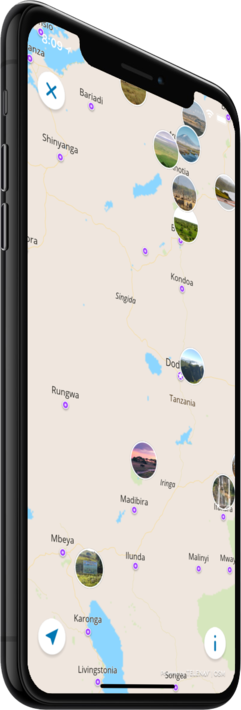
저희의 오프라인 맵에서는 26 최고 인기 여행지에 대한 정보와 함께, 고품질의 설명, 사진, 그리고 실제 여행객들의 리뷰를 제공해 드립니다.
고품질 콘텐츠
저희가 제공해 드리는 모든 장소는 설명, 사진, 실제 여행자들의 리뷰와 함께 제공됩니다.
모바일 데이터를 절약하세요!
앱의 모든 기능이 오프라인에서 작동됩니다! 여행 전에 저희의 완전 자체제작 맵을 다운로드하시기만 하면, 모바일 트래픽을 절약하실 수 있습니다!
근처의 최고 인기 여행지를 찾으세요!
저희가 제공해 드리는 특선 장소들 외에, 저희의 가이드를 통해 수만 곳의 다른 유용한 장소들을 찾아보실 수 있습니다 (호텔, 레스토랑, ATM, 대중교통 정류장, 관심 지역 등)
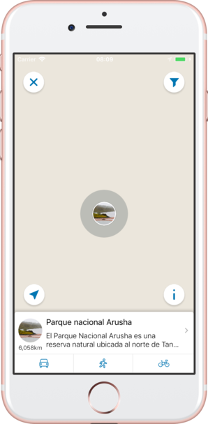
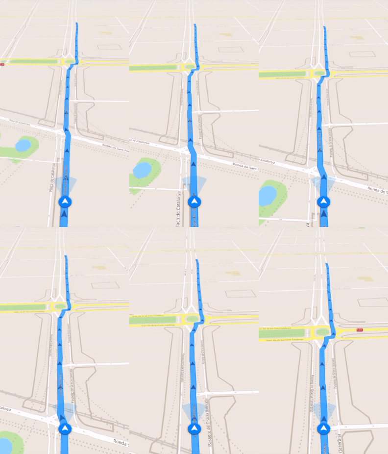
오프라인 네비게이션
오프라인으로 최적의 운전, 도보 또는 자전거 경로를 계획하세요! 자신의 장소를 저장하세요, 저장된 장소를 항상 다시 찾아보기 쉽고 길을 잃을 일이 없도록 말이죠.
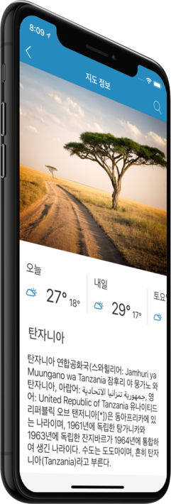
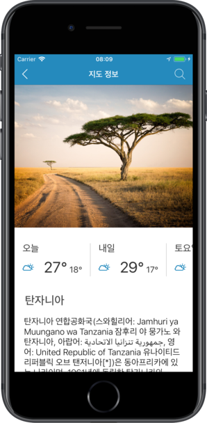
날씨 예보 및 환율 변환!
200개 이상의 국가를 지원하는 최신 날씨 예보 및 간편한 환율 변환 계산기!
최고 인기 관심 지역
다음은 저희 오프라인 맵에서 찾아보실 수 있는 몇 군데의 관심 지역 목록입니다.
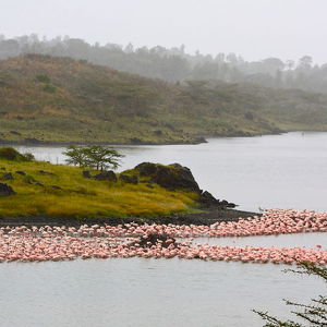
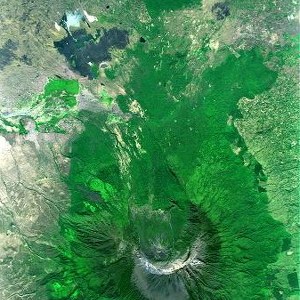
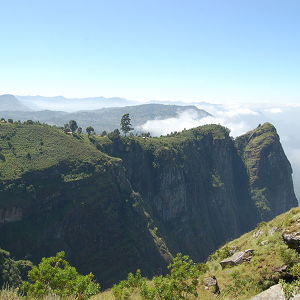
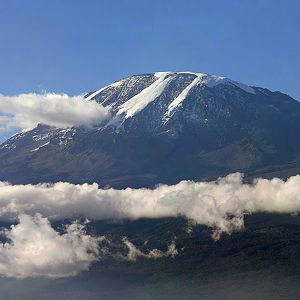
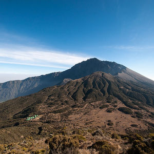
Parque nacional Arusha
El Parque Nacional Arusha es una reserva natural ubicada al norte de Tanzania. Fue instaurado en 1960, albergando una rica variedad de flora y fauna en sus terrenos. Es el territorio del monte Meru que tiene 4.558 m de elevación y del cráter Ngurdot...
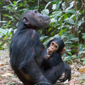
Gombe National Park
Gombe’s high levels of diversity make it an increasingly popular tourist destination. Besides chimpanzees, primates inhabiting Gombe include beachcomber olive baboons, red colobus, red-tailed monkeys, blue monkeys, and vervet monkeys. Red-tailed monkey...
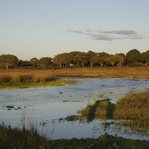
Katavi National Park
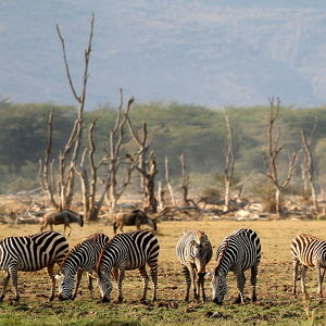
Wildlife features include large animal herds, particularly of Cape Buffaloes, zebras, wildebeest, giraffes, and elephants, plus along the Katuma river, crocodiles and hippopotami which upon annual dry seasons results in mudholes that can be packed with...
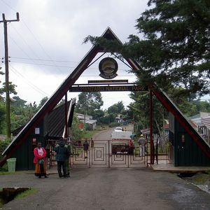
Parque nacional del Kilimanjaro
El monte Kilimanjaro se sitúa en el norte de Tanzania, junto a la frontera con Kenia. Es el punto más alto de África, con una altitud de 5895 m. Este antiguo volcán, con la cumbre cubierta de nieves perpetuas, se levanta en medio de una planicie de la ...
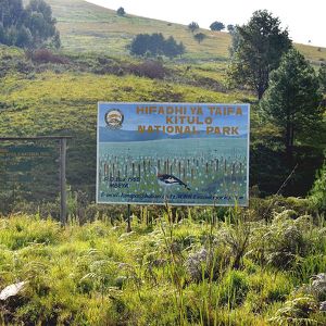
Kitulo National Park
Protection of the Kitulo Plateau's unique flora was first proposed by the Wildlife Conservation Society (WCS), in response to the growing international trade in orchid tubers and increased hunting and logging activities in the surrounding forests. In 2...
Lake Manyara National Park
The park consists of 330 km2 (130 sq mi) of arid land, forest, and a soda-lake which covers as much as 200 km2 (77 sq mi) of land during the wet season but is nearly nonexistent during the dry season.
Mikumi National Park
The landscape of Mikumi is often compared to that of the Serengeti. The road that crosses the park divides it into two areas with partially distinct environments. The area north-west is characterized by the alluvial plain of the river basin Mkata. The ...
Saadani National Park
Saadani's wildlife population is increasing during recent years after it has been gazetted as a National Park and was a hunting block beforehand. Wildlife in Saadani includes four of the Big Five, namely East African lions, African bush elephants, buff...
Serengeti National Park
The Maasai people had been grazing their livestock in the open plains of eastern Mara Region, which they named "endless plains," for around 200 years when the first European explorer, Austrian Oscar Baumann, visited the area in 1892. The name "Serenget...
Ruaha National Park
Germany gazetted the Saba Game Reserve in 1910. British colonial authorities changed the name to the Rungwa Game Reserve in 1946. In 1964, the southern portion of the reserve was excised and elevated to full park status. More than 571 species of bir...
Tarangire National Park
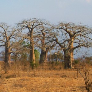
The park is famous for its high density of elephants and baobab trees. Visitors to the park in the June to November dry season can expect to see large herds of thousands of zebra, wildebeest and cape buffalo. Other common resident animals include water...
Udzungwa Mountains National Park
Tourism in the Udzungwa Mountains national Park revolves around hiking and trekking, as the park has no roads and is accessible only on foot. The hiking trails range in difficulty from the short one-hour Sonjo trek to the extremely challenging 6-day ca...
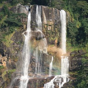
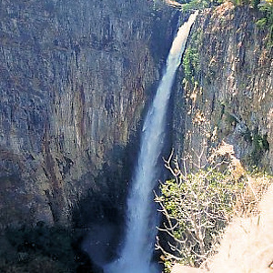
Kalambo Falls
Archaeologically, Kalambo Falls is one of the most important sites in Africa. It has produced a sequence of past human activity stretching over more than two hundred and fifty thousand years, with evidence of continuous habitation since the Late Early ...
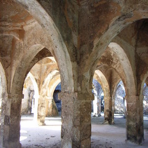
Kilwa Kisiwani
Kilwa Kisiwani is an archaeological city-state site located along the Swahili Coast on the Kilwa archipelago. It was occupied from at least the 8th century AD and became one of the most powerful settlements along the coast. The seasonal wind reversals ...
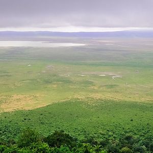
Ngorongoro Conservation Area
The 2009 Ngorogoro Wildlife Conservation Act placed new restrictions on human settlement and subsistence farming in the Crater, displacing Maasai pastoralists, most of whom had been relocated to Ngorongoro from their ancestral lands to the north when t...
Ngurdoto Crater
Ngurdoto Crater is a volcanic crater in Arusha Region, Tanzania. The crater is 3.6 km (2.2 mi) in diameter at its widest and 100 metres (110 yd) deep. Ngurdoto Crater is surrounded by forest whilst the crater floor is a swamp. It is located in Arusha N...
Eastern Arc Mountains
These mountain ranges are the oldest in East Africa, and though physically separated from each other, share a similar geomorphology and ecology. They were formed at least one hundred million years ago along a fault lying to the east of the East African...
Mount Kilimanjaro
Kilimanjaro is a large stratovolcano and is composed of three distinct volcanic cones: Kibo, the highest; Mawenzi at 5,149 metres (16,893 ft); and Shira, the shortest at 4,005 metres (13,140 ft). Mawenzi and Shira are extinct, while Kibo is dormant and...
Mount Meru
Much of its bulk was lost about 8,000[citation needed] years ago due to an eastward volcanic blast, similar to the 1980 eruption of Mount St. Helens in the U.S. state of Washington. Mount Meru most recently had a minor eruption in 1910. The several sma...
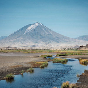
Ol Doinyo Lengai
Whereas most lavas are rich in silicate minerals, the lava of Ol Doinyo Lengai is a carbonatite. It is rich in the rare sodium and potassium carbonates, nyerereite and gregoryite. Due to this unusual composition, the lava erupts at relatively low tempe...
카운터

26
최고 인기 여행지

1071
관심 지역

5170
호텔

4023
카페 및 레스토랑
연락하기
다음 양식 작성을 통해 저희에게 연락하실 수 있습니다
 |
 |
 |

