기능
Sharm El Sheikh 오프라인 모바일 맵으로
잊지 못할 여행의 추억을 만드세요!
최고 인기 여행지
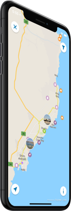
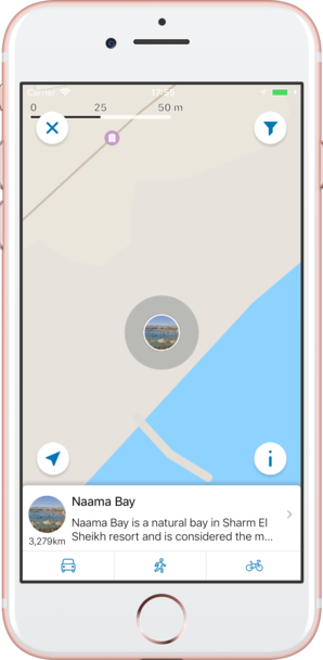
저희의 오프라인 맵에서는 4 최고 인기 여행지에 대한 정보와 함께, 고품질의 설명, 사진, 그리고 실제 여행객들의 리뷰를 제공해 드립니다.
고품질 콘텐츠
저희가 제공해 드리는 모든 장소는 설명, 사진, 실제 여행자들의 리뷰와 함께 제공됩니다.
모바일 데이터를 절약하세요!
앱의 모든 기능이 오프라인에서 작동됩니다! 여행 전에 저희의 완전 자체제작 맵을 다운로드하시기만 하면, 모바일 트래픽을 절약하실 수 있습니다!
근처의 최고 인기 여행지를 찾으세요!
저희가 제공해 드리는 특선 장소들 외에, 저희의 가이드를 통해 수만 곳의 다른 유용한 장소들을 찾아보실 수 있습니다 (호텔, 레스토랑, ATM, 대중교통 정류장, 관심 지역 등)
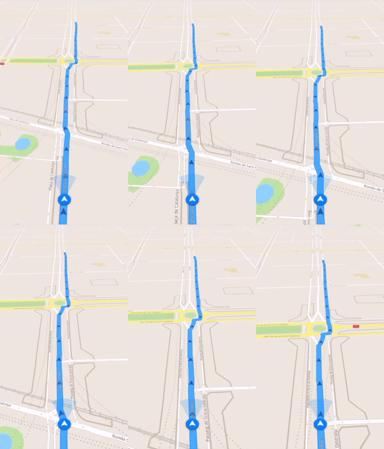
오프라인 네비게이션
오프라인으로 최적의 운전, 도보 또는 자전거 경로를 계획하세요! 자신의 장소를 저장하세요, 저장된 장소를 항상 다시 찾아보기 쉽고 길을 잃을 일이 없도록 말이죠.
날씨 예보 및 환율 변환!
200개 이상의 국가를 지원하는 최신 날씨 예보 및 간편한 환율 변환 계산기!
최고 인기 관심 지역
다음은 저희 오프라인 맵에서 찾아보실 수 있는 몇 군데의 관심 지역 목록입니다.
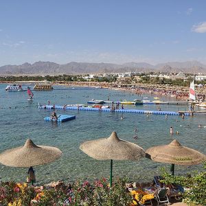
Naama Bay
Naama Bay is a natural bay in Sharm El Sheikh resort and is considered the main hub for tourists in the city, as it is famous for its cafes, restaurants, hotels, and bazaars.
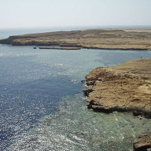
Ras Muhammad National Park
When the Sinai Peninsula was returned to Egypt, Ras Muhammad was declared for protection from fishing and other human activities. Some of the fishing methods, such as using dynamite and knives also were impacting the coral reef and the fish populations...
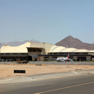
Sharm El Sheikh International Airport
The airport was opened on May 14, 1968 as an Israeli Air Force base. After the signing of the Egypt–Israel Peace Treaty in 1979 and subsequent Israeli withdrawal from the Sinai Peninsula, it was reopened as a civilian airport. The largest regular ai...
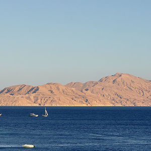
Tiran Island
The island is located at the entrance of the Straits of Tiran, which connects the Red Sea to the Gulf of Aqaba. It has an area of about 80 square kilometres (31 square miles). It is part of the Ras Muhammad National Park. The Straits of Tiran is Israel...
카운터

4
최고 인기 여행지

17
관심 지역

394
호텔

82
카페 및 레스토랑
연락하기
다음 양식 작성을 통해 저희에게 연락하실 수 있습니다
 |
 |
 |

