기능
The Bahamas 오프라인 모바일 맵으로
잊지 못할 여행의 추억을 만드세요!
최고 인기 여행지
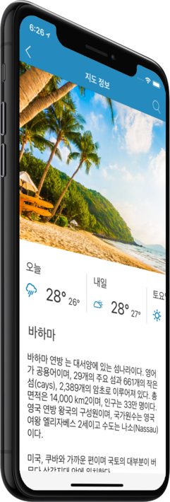
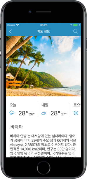
저희의 오프라인 맵에서는 18 최고 인기 여행지에 대한 정보와 함께, 고품질의 설명, 사진, 그리고 실제 여행객들의 리뷰를 제공해 드립니다.
고품질 콘텐츠
저희가 제공해 드리는 모든 장소는 설명, 사진, 실제 여행자들의 리뷰와 함께 제공됩니다.
모바일 데이터를 절약하세요!
앱의 모든 기능이 오프라인에서 작동됩니다! 여행 전에 저희의 완전 자체제작 맵을 다운로드하시기만 하면, 모바일 트래픽을 절약하실 수 있습니다!
근처의 최고 인기 여행지를 찾으세요!
저희가 제공해 드리는 특선 장소들 외에, 저희의 가이드를 통해 수만 곳의 다른 유용한 장소들을 찾아보실 수 있습니다 (호텔, 레스토랑, ATM, 대중교통 정류장, 관심 지역 등)
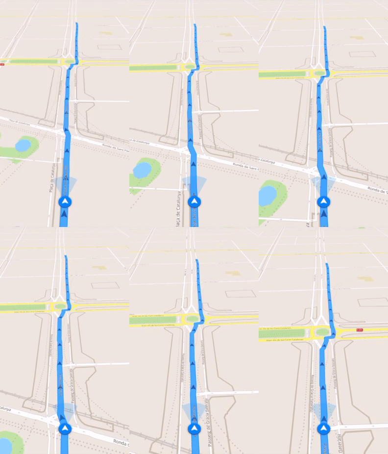
오프라인 네비게이션
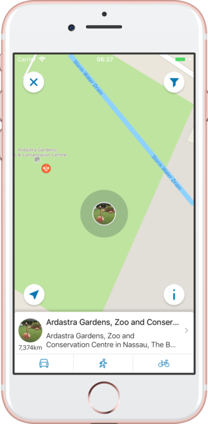
오프라인으로 최적의 운전, 도보 또는 자전거 경로를 계획하세요! 자신의 장소를 저장하세요, 저장된 장소를 항상 다시 찾아보기 쉽고 길을 잃을 일이 없도록 말이죠.
날씨 예보 및 환율 변환!
200개 이상의 국가를 지원하는 최신 날씨 예보 및 간편한 환율 변환 계산기!
최고 인기 관심 지역
다음은 저희 오프라인 맵에서 찾아보실 수 있는 몇 군데의 관심 지역 목록입니다.
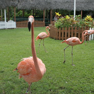
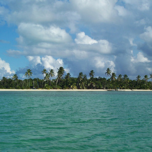
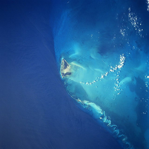
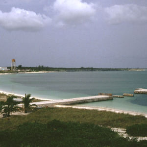
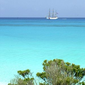
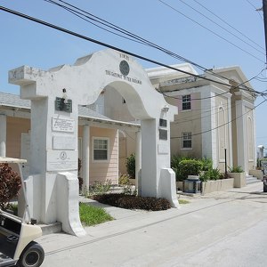

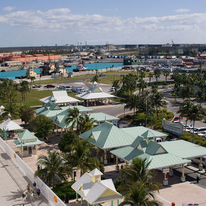
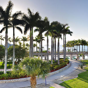
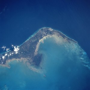
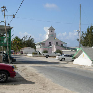
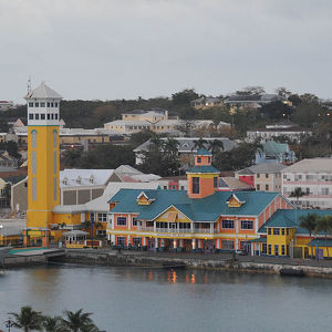
Ardastra Gardens, Zoo and Conservation Centre
Ardastra Gardens, Zoo and Conservation Centre in Nassau, The Bahamas opened in 1937 though the work of the Jamaican horticulturist, Hedley Vivian Edwards. From the Latin Ardua astrum, Ardastra means "Striving for the stars". In the 1950s the Baha...
Andros
Andros Island is an archipelago within the Bahamas, the largest of the 26 inhabited Bahamian Islands. Politically considered a single island, Andros in total has an area greater than all the other 700 Bahamian islands combined. The land area of Andros ...
Bimini
Bimini has three islands, North Bimini, South Bimini, and East Bimini. The largest islands are North Bimini and South Bimini. The District of Bimini also includes Cay Sal Bank, more than 100 km (60 mi) further south, which is geographically not a part ...
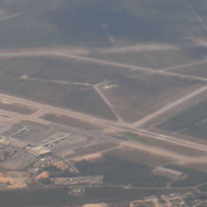
Lynden Pindling International Airport
During World War II on 30 December 1942, the airport was named Windsor Field (after the Duke of Windsor) and became a Royal Air Force station. Windsor Field was the second airport in The Bahamas and was used for delivery flights of US-built fighter and...
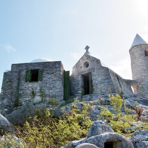
Mount Alvernia
Mount Alvernia (formerly Como Hill) is located on Cat Island in the Bahamas and is the highest point in the country at 63 metres (207 ft) above sea level. The mountain shares its name with a school in Montego Bay, Jamaica. Originally named "Como Hil...
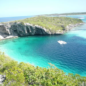
Dean's Blue Hole
A blue hole is a water-filled sinkhole with the entrance below the water level. They can be formed in different karst processes, for example, by rainwater soaking through fractures of limestone bedrock onto the watertable. Sea level here has changed: f...
Inagua
The original settler name Heneagua was derived from a Spanish expression meaning 'water is to be found there'. Two names of apparent Lucayan origin, Inagua (meaning "Small Eastern Island") and Baneque (meaning "Big Water Island") were used by the Spani...
San Salvador Island
San Salvador Island (known as Watlings Island from the 1680s until 1925) is an island and district of the Bahamas. It is widely believed that during Christopher Columbus' first expedition to the New World, San Salvador Island was the first land he sigh...
Conception Island National Park
The Conception Island National Park is a protected area in the Bahamas. The island lies between Cat Cays to the north and Rum Cay to the south. The vegetation consists of mangrove communities, with typical strand vegetation, and the island is visited b...
Alice Town
Alice Town is a town in the Bahamas. It is located on North Bimini island and the population is 300 as of the 2010 census. Alice Town is the centre of the tourist trade on Bimini: there are several hotels, bars and restaurants. North of Alice Town i...
Clarence Town
Clarence Town is a town in the Bahamas. It is located on Long Island. Clarence Town is the capital of Long Island and has a population of 86 people as of 2010. It has a marina, two restaurants as well as the government dock where the mail boat docks on...
Freeport
Freeport is a city, district and free trade zone on the island of Grand Bahama of the northwest Bahamas. In 1955, Wallace Groves, a Virginian financier with lumber interests in Grand Bahama, was granted 50,000 acres (20,234 ha) of pineyard with substan...
Lucaya
Lucaya is a suburb of Freeport, Bahamas a city on the island of Grand Bahama, approximately 105 mi (160 km) east-northeast of Fort Lauderdale, Florida. Lucaya's primary industry is tourism. Major hotels and attractions in the resort are the Our Luca...
Grand Bahama
Grand Bahama is the northernmost of the islands of the Bahamas, and the closest major island to the United States, lying 84 kilometres (52 mi) off of Palm Beach, Florida. It is the fourth largest island in the Bahamas island chain of approximately 700 ...
Matthew Town
Matthew Town is the chief and only settlement on Great Inagua Island of the Bahamas. It is located on the southwest corner of the island. It was named after Bahamian Governor George Matthew (1844–1849) and first settled during his tenure in office. It ...
Nassau
Nassau is the capital and commercial centre of the Commonwealth of the Bahamas. The city has an estimated population of 274,400 as of 2016, or 70 percent of the entire population of the Bahamas. Lynden Pindling International Airport, the major airport ...
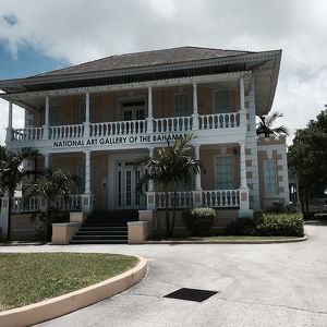
National Art Gallery of The Bahamas
The National Art Gallery of The Bahamas is an art gallery in Nassau, The Bahamas. In September 2011 the gallery announced Amanda Coulson, as the new Director and 4 new staff appointments. John Cox joined the gallery in January 2012 as Chief Curator. ...
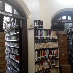
Nassau Public Library
The Nassau Public Library and Museum, in Nassau, is the largest and oldest of five libraries in the Bahamas. The library was founded in 1837, when the Bahamas Society for the Diffusion of Knowledge was combined with a reading society. The Nassau Public...
카운터

18
최고 인기 여행지

306
관심 지역

702
호텔

1075
카페 및 레스토랑
연락하기
다음 양식 작성을 통해 저희에게 연락하실 수 있습니다
 |
 |
 |

